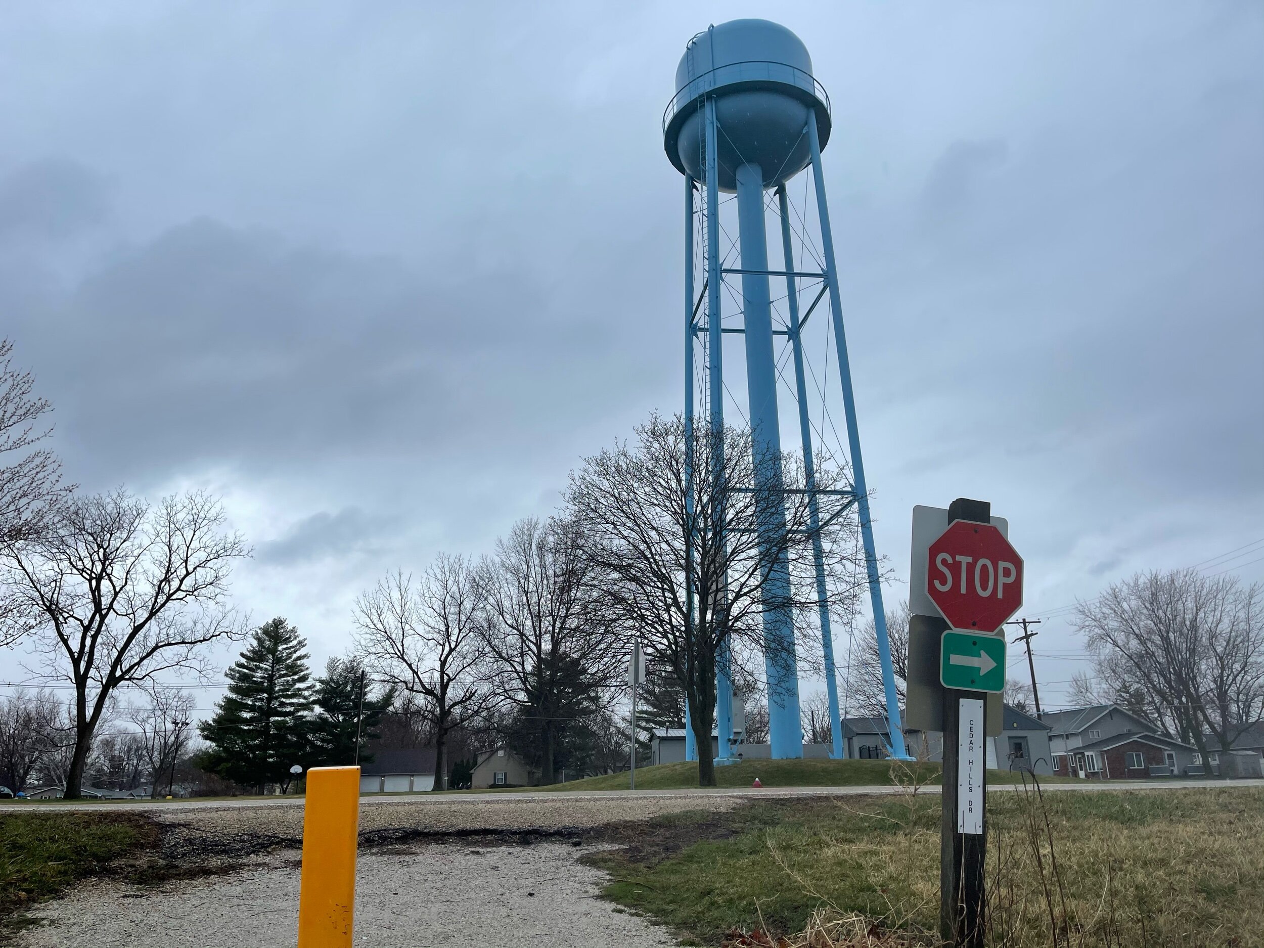
This past week I had an opportunity to briefly explore the Rock Island Trail.
The Rock Island Trail is a rail-trail with the trailhead in Alta, Illinois, just a few miles north of Peoria. Despite the name, the trail itself does not go to Rock Island IL - one of the Quad Cities about 60 miles to the northwest of Alta. Rather, this trail is named after the Rock Island and LaSalle rail line (with a later name change to Chicago and Rock Island), from which was born.
The trail itself runs in two directions from the tiny, unincorporated community of Alta. To the south the trail travels into the city of Peoria, and the Traillink entry/) on this route indicates that it travels past Peoria’s Riverfront Museum and the Caterpillar Visitor Center. Riding in the other direction has a much more rural presentation, with wooded and open sections, connecting to several small towns and taking a course through the Rock Island Trail Nature Preserve.
For better or worse, my situation this day only allowed for a short ride. Partly this was due to schedule, but it was also partly due to weather. March in Illinois is a wet month, and on this particular day a fairly large storm cell had gone through. I was on the backside of it when I arrived at the trailhead - the heavy rain (and potential lightening - I don’t love the idea of sitting on a metal conductor during a lightening storm) had passed, but light rain was still happening, and the radar indicated that it would be happening for a while.

Trike in the rain
I had cycling gear along, but nothing particularly waterproof. Still, it wasn’t super-cold, and my gear is all synthetics, so I’d get wet, but not particularly chilly. Plus, I already knew it would be a short ride.
I rode a short section of the trail going to the northwest - towards the rural portions of the trail. The first section is tree-lined, but you are riding through the backsides of residential neighborhoods. Given the rain, no one was out and about, but I’d imagine this is a relatively active area in the summer months.
However, you move through that area fairly quickly, and are then in various woodland regions or rolling across agricultural land, but with the tree-line remaining between you and the rest of the world.
Trees between you and the world
Before too long you come to the Union Pacific Railroad Bridge...

Union Pacific Railroad Bridge
...Which has been creatively decorated by spray paint artists. Shortly following that is the bridge over Kickapoo Creek:

Kickapoo Bridge

Kickapoo Bridge
I don’t know if the pictures fully convey it, but there is a fair amount of a drop down to the bridge. Doubtless, when there was an actual railroad on this section, the trellis came up higher to meet the grade - one suspects this bridge was a cost compromise for spanning the gap for the purposes of a cycling trail. And this does bring up one of the more unusual features of this trail. Most rail-trails are generally pretty flat affairs - an artifact of their origins. In the five miles of this trail that I covered, forward and back, there were several elevation changes. That’s not to complain, mind you - I’m riding for exercise, and the variation helps keep the trail more interesting - but it is somewhat unusual. If I were to compare it to another trail, it reminds me most of my rides along the Military Ridge Trail in southwestern Wisconsin.
The first settlement you come to on this section of the trail (and the only one I had time to see) is the little town of Dunlap. There the trail takes you past a school before the course directs you through the town’s streets.
Where the trail meets the roadway presents with a rather challenging transition - its steep, and the junction between crushed stone and asphalt is not smooth.
Rough Transition
I did ride up to it, but with a closer look at it, I was pretty sure I would not make it up over the lip on my trike. I consider dismounting And walking the trike up on the road, but just to the west of this juncture is a very short rutted section leading to a driveway (10-20 feet away) that entered the road at a reasonable grade. I took that option. I suspect I was technically, if briefly, trespassing, but the ruts suggested I was not the first person to take that option, nor likely the last.
From there the “trail” goes through the streets of Dunlap and picks up again as an actual trail on the other side of town. There are some street signs that show “Bike Route”, but I found it extremely helpful to look up the map on google maps (I always have the “biking” map details turned on in the app) to follow the course.
Because I had limited time to ride, I only went far enough into Dunlap to (almost) hit the halfway point for a 10-mile, then turned around. Still, the town was quiet, with minimal traffic, making for comfortable riding. Following the trail along on google maps, it looks as if it moves from trail to streets at pretty much every town you encounter. This may be an artifact of how long ago the railroad line stopped operating - Wikipedia says the last train ran on the line in 1963. It’s likely that municipalities simply repurposed the portions that ran through the towns in the time between then and when the trail opened some 26 years later in 1989. That’s just my speculation, of course, but it seems like a fairly common occurrence as highways took over for short line railways in Illinois. At any rate, it’s a small portion of the ride - the portions that travel on roads range from about a half-mile to slightly over one mile for the longest part.
The trail itself is primarily a crushed gravel surface, and it was well packed and in good condition. Despite the fact that it had been raining for at least a couple of hours prior to (not to mention continually during) my ride, the surface was solid and supportive - there was no fear of getting stuck in the mud, no issues with the rear wheel on my trike losing traction on the uphill portions, even with my very asphalt-oriented rubber.
The views were mostly what one hopes for from this type of trail - while the first mile or so gives the impression of riding through people’s back yards, it does then break out into a more solitary experience of the countryside. A look at google maps up close in the towns shows coffee shops and restaurants (and - intriguingly - Her Majesty’s English Tea Room a couple of blocks over from the route in Dunlap) on or near the trail route in every town. This suggests it’s a nice blend of countryside with some conveniences interspersed at reasonable intervals - a nice compromise between the intensely rural nature of, say, the Hennepin Canal Trail and a more urban bike path.
I didn’t get to see nearly as much of this trail as I would have liked, and I was truly drenched by the end of my ride, but I enjoyed what I was able to engage with (especially after I’d wrung out my clothes). If this type of trail ride fits the sort of thing you enjoy I can recommend it - and I plan to get out to it again sometime.
But - hopefully - this time in the sunshine.