The I&M Canal Trail runs from LaSalle, Illinois up towards Lake Michigan covering much of the northeastern area of the state in fits and starts. The trail head in LaSalle is relatively close by for me, and as such I’ve ridden it several times, with my longest outing thus far taking me from LaSalle to Ottawa and back, in part to obtain libations from Tangled Roots brewery.
Long sections of the trail on this route could euphemistically be described as rustic - while there are a few paved sections of the trail over this distance, most of it is dirt, and it can be challenging in places during the wetter seasons. But by far the most rustic portion of the trail has been this section:

Ford the mighty river
What you see in this picture is an honest-to-goodness water crossing. There is no formal bridge - someone has been kind enough to provide a narrow wooden causeway that simply lays across the stream bed, with ropes tethering it to trees to keep the current from simply carrying it away. In my experience with this section the causeway was in a different position each time. And, crucial for my purposes, it isn’t wide enough for all three wheels of the trike.

Not sure it’s gonna fit…
I’ve always had to carry the trike across. From my perspective this has always just been a part of the deal, but I am sure there are people who have arrived at this point and just decided that is the end of the trail for them. Understandably so.
However, the Canal Organization had put up a post indicating that the “washout between Utica and Ottawa” had been repaired. I assumed this was referring to the same spot. It was difficult to tell, however, because the picture that accompanied the post bore little resemblance to my recollection of how the area looked. Also, the word “washout” implied that there had been some sort of bridge (or maybe a culvert?) there before, and there was little about the appearance of the place that suggested it had ever been anything but open water.
In short: I wanted to see for myself if it was fixed.
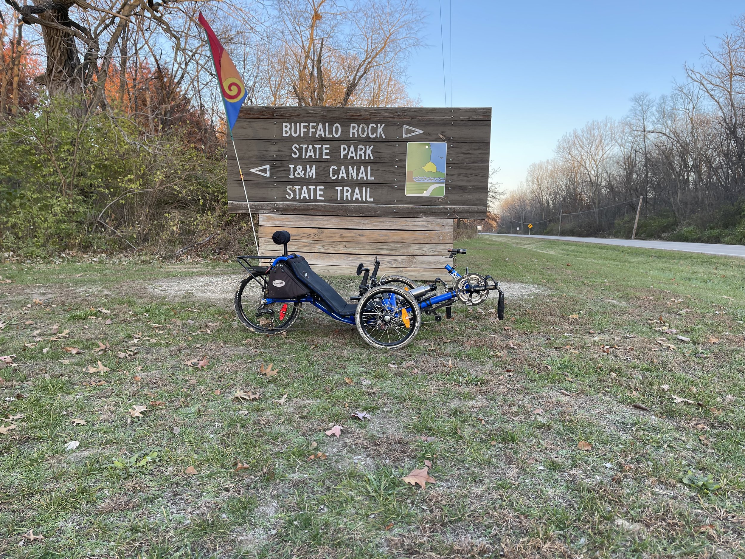
I set out for a ride from the LaSalle trailhead to Buffalo Rock State Park, a route I’ve taken several times before. Life sometimes has a way of otherwise intruding on my riding opportunities, so I got started a little later in the day than I’d hoped. I arrived at the trailhead a little before three in the afternoon. With the sun setting around 4:30 this time of year, I knew that it would be getting dark on my way back.
Pro tip: if you are going to be riding at the end of the day, either leave the sunglasses behind, or at least bring along your regular glasses for when it starts to get dark. I myself would never forget to do this, and realize, hypothetically speaking, about four miles in that I had left my regular specs in the car.
Never…
Ahem. Anyway, I soldiered on, reasoning that the time lost riding back would only further ensure that I would be riding in the dark on the way back.
This being mid-November, I largely had even the more popular sections of the trail to myself. I headed out from LaSalle, dodged the potholes on the early portion of the trail, passed through Utica where they now have a bike rental station:

Bicycles for sale or rent… ok - just for rent.
And from there into the more rustic portions of the trail. The Canal National Heritage Area website says that the trail surface between LaSalle and Ottawa is “Part Crushed Limestone, Part Paved”. However, the interested rider should be aware that, in portions of this section, if there was ever crushed limestone laid down it has long since crumbled such that it is both microscopic, and been completely overgrown. Much of the trail between Utica and Buffalo Rock is grass with a single track dirt paths down it - sometimes just one, sometimes one on either side. The shot below is an example of this from May of this year:
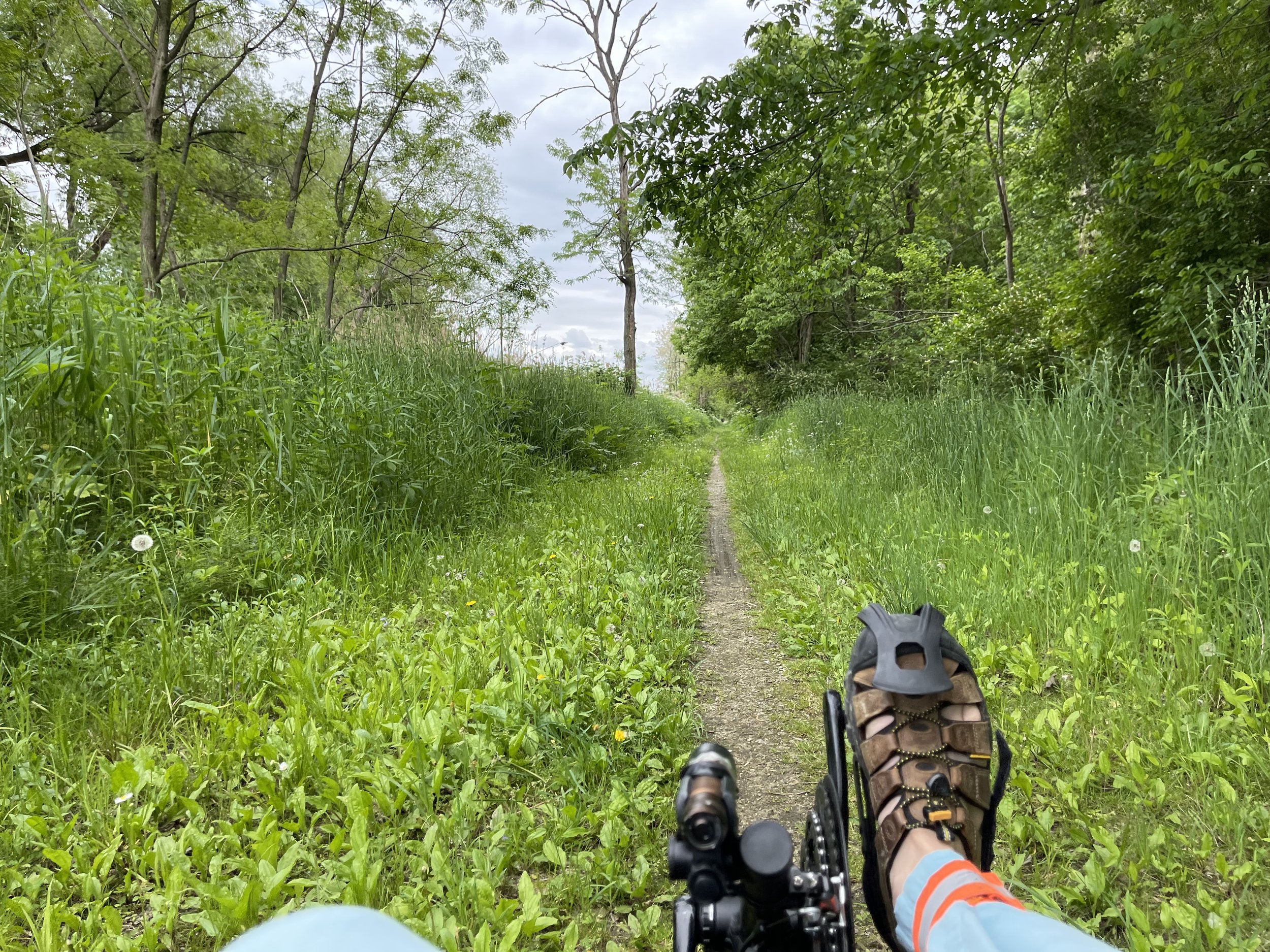
Single track - May 2021
This isn’t bad for riding, per se, (though it can get soupy in spots when wet), but it’s likely not what people would expect given the description on the website.
And then I arrived at the crossing:

A bridge not too far
The bridge work completely transforms the area. I know it’s in the same spot, but it’s hard to reconcile the current presentation with what was there before. It takes what was literally a considerable obstacle to overcome and makes it a non-issue. People who are new to the trail will come to this point and likely give no thought to what the bridge is doing for them as they ride across. In fact, it seems likely that I will reach that perspective myself at some point in the future. It does make one appreciate what our ancestors had to contend with - many of the towns and cities in this region are located in part because they were good shipping points for river traffic and crossing points for ferries. All of that went to the wayside once the bridges were built.
The rest of the ride was largely uneventful. I made it to Buffalo Rock State Park - the sometimes treacherous clay soup sections were a little soft, but easily passable.
Of course, the last few miles of the ride were largely in dark, although this offered some views if its own:
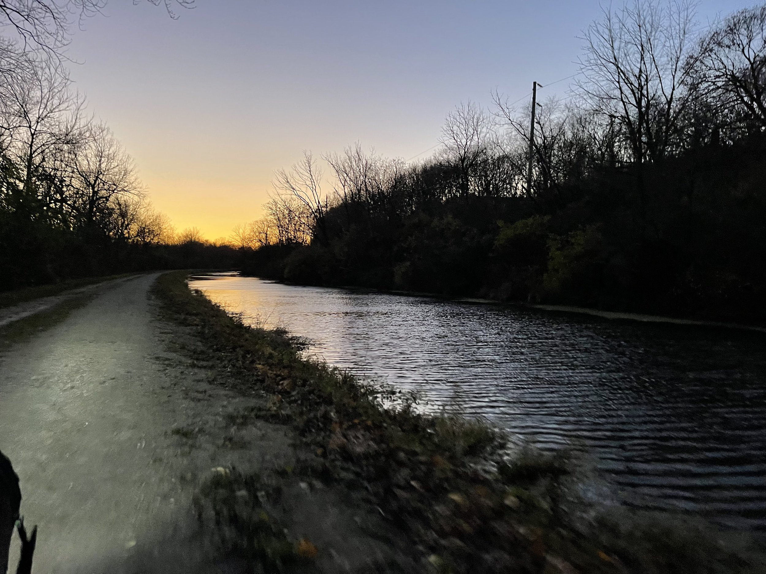
Sunset on the canal
The interesting part of that shot to me is that it’s much lighter than what I was seeing. I knew, when I would look over top my sunglasses, that it wasn’t quite as dark as it seemed. Still, relative degree of light is just about all I can see without my glasses, so the sunglasses stayed on. But with lights in place and some careful riding, I was able to make it back to the LaSalle trail head without issue.
With the new bridge in place the trip along this section of trail will be much easier and more accessible to riders. And it makes the I&M Canal portion of the Rails to Trails coast-coast trail seem one step closer to being more feasible. It’s a win all around.